
For the past two Fridays I’ve hiked to mountains with peak elevations of over 10,000 feet. One was Freel Peak (10,881 feet), which is the highest peak in the Lake Tahoe Basin, and the other was Stevens Peak (10,059 feet), a lesser known mountain a few miles away. Neither feat is particularly remarkable, as both hikes are accomplished by many locals and visitors to Lake Tahoe each year. What I found to be extraordinary about the two hikes, however, was that even though they look similar on paper they yield vastly different hiking experiences.
In retrospect I couldn’t stop thinking about the quote by the famous samurai, Miyamoto Musashi, where he stated, “You must understand that there is more than one path to the top of the mountain.” Clearly he was looking at the big picture (i.e. Life) when he spoke those words rather than only speaking from a mountaineering perspective with regard to route selection. That said, I invite you to consider the following comparison and contrast of these two types of adventure more in terms of metaphor than just their physical descriptions.
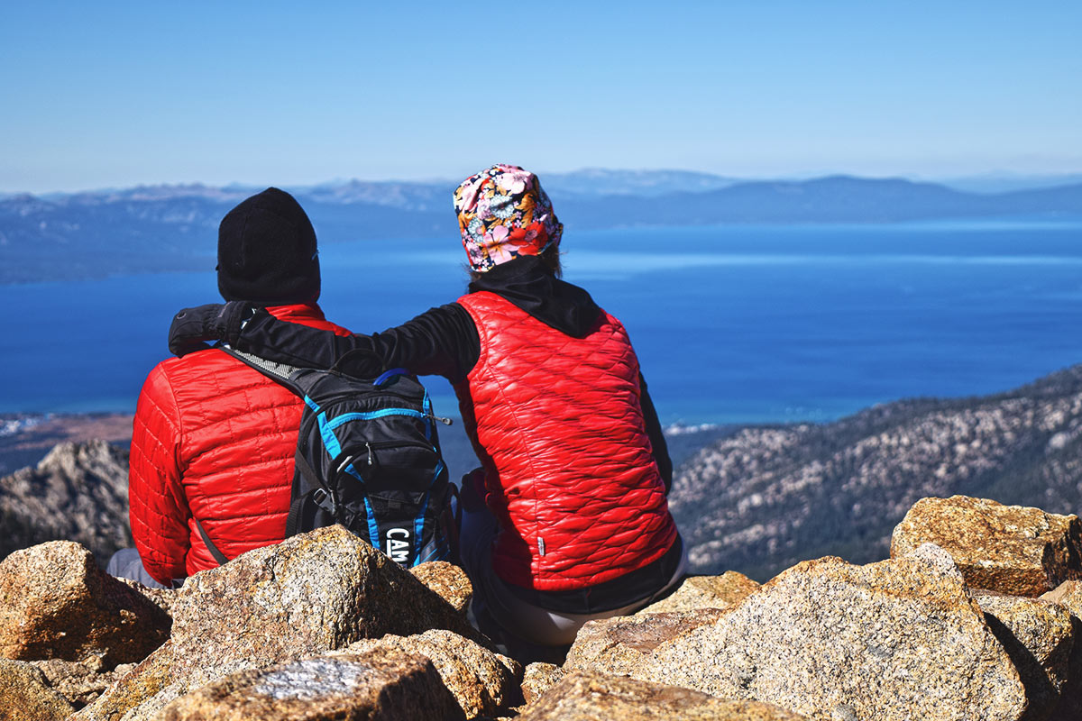
My friends Andy and Frances, who hiked with me to the top of Freel Peak on October 19, 2018. © Jared Manninen
The trail to Freel Peak is about 10 miles with approximately 2,700 feet of total elevation gain. The Stevens Peak loop is around 12 miles with just over 3,000 feet of total elevation gain. Again, they’re very similar on paper. The main difference between the two is that the trail to Freel Peak is just that, a developed hiking trail complete with signs, whereas the majority of travel to Stevens Peak is off-trail. This means that you need to possess some basic land navigation skills in order to safely and timely navigate your way to the top of Stevens Peak (and back to the trailhead).
As I mentioned, Freel Peak is the highest peak at Lake Tahoe. It’s also a prominent landmark (coupled with the sandy swoosh of nearby Jobs Sister) visible from multiple locations around the south shore of Tahoe. For those reasons, hiking to its summit comes pre-loaded with a certain amount of prestige. For example, “You see that peak way up there? Yeah, I’ve hiked to it.” Stevens Peak, on the other hand, often elicits the “where?” response because it’s not very prominent unless you’re driving through Hope Valley or popular unless you’re backcountry skiing.
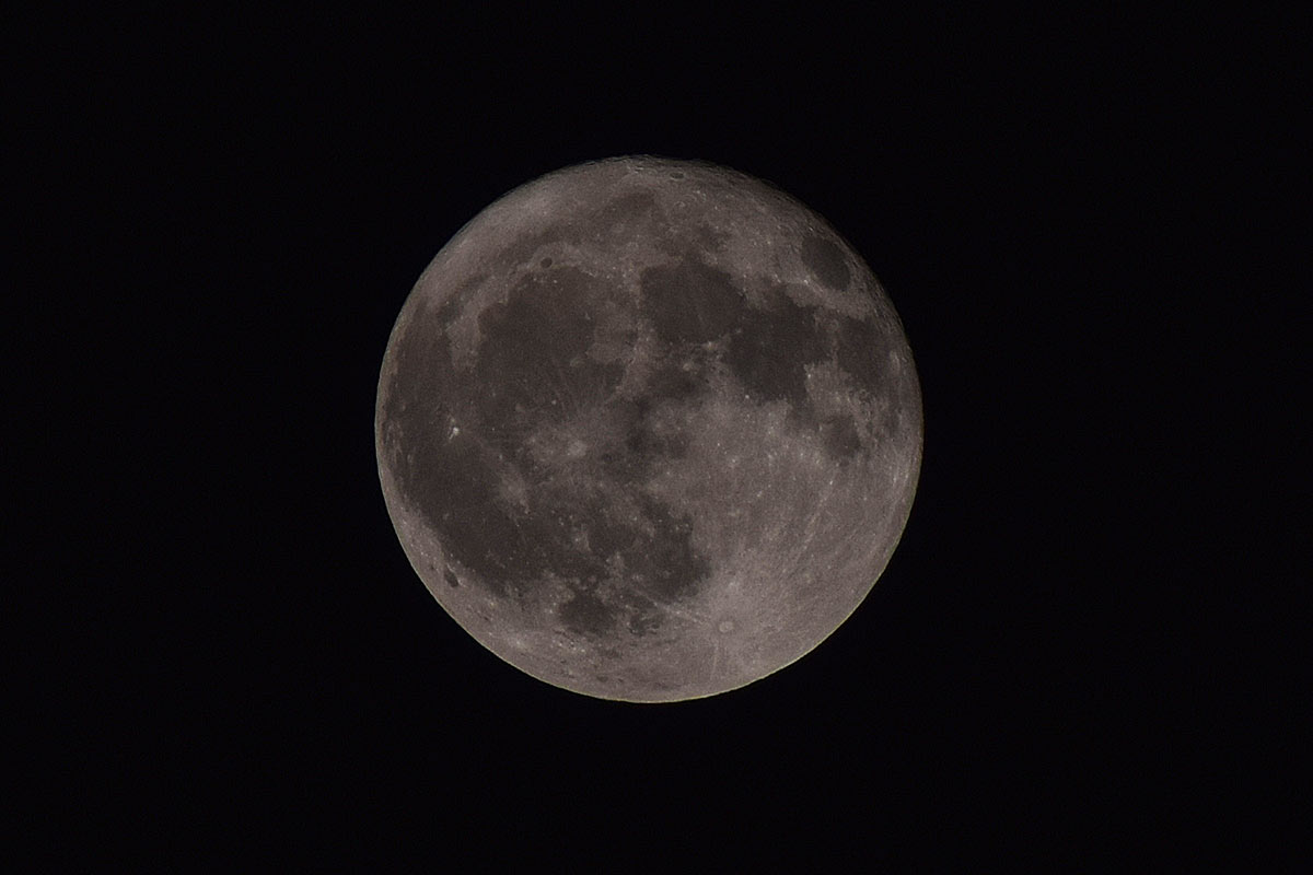
Hunter’s Moon on October 24, 2018. I recently bought a 300mm lens for my DSLR, so I had to put it to the test! © Jared Manninen
When hiking to Freel Peak, success is inevitable so long as the weather cooperates and you have enough time (5-7 hours) and fuel (food and water). All you have to do is keep moving and you’ll eventually reach the top. You don’t even need a map (although I always recommend carrying one) because the path is clearly laid out for you. If something goes wrong, there’s a good chance somebody will come along and lend a hand or at least be able to send for help. Hiking to Stevens Peak is less certain and requires you to, at the bare minimum, know how to read a topographical map. If you injure yourself along the trail, however, you better have the means to drag yourself out of the backcountry or send for the cavalry lest you become coyote food. Most likely you won’t see anyone else once you head off-trail en route to Stevens Peak.
Since the trail to Freel Peak is established, the only times you’re likely stop is to catch your breath, capture some photos, or take a pee. You can allow yourself to get lost in thought or conversation as you make your way up the trail. If the mood strikes, you can even pick up the pace to challenge yourself all while enjoying the amazing views. In many respects, hiking along popular Tahoe trails like Freel Peak or Mount Tallac compels you to keep moving along because the trail itself channels your efforts into one direction. You have very little reason to meander about because inherently you’re going to want to stay within the lines in order to minimize your impact on the area (i.e. cutting switchbacks is a big no-no). And, each step along the trail is essentially a step forward, so even if you are taking your sweet time taking in the sweet views, you’ll still be making forward progress.
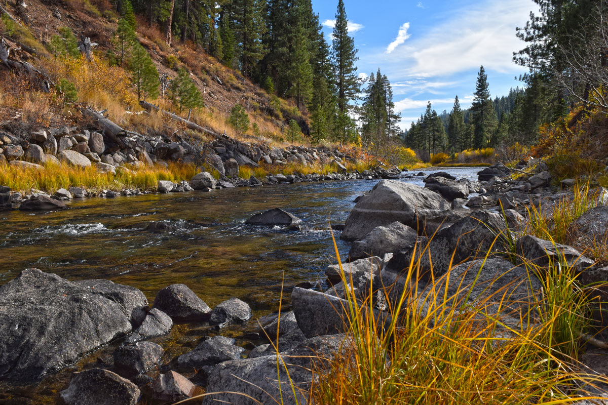
The Truckee River lined with fall colors on October 24, 2018. © Jared Manninen
Hiking off-trail is a whole other animal. Unless you’ve traveled the area of interest before (and even if you have in most cases), it’s in your best interest to remain alert, aware of your surroundings, and focused on being safe and heading in the correct direction. You find yourself stopping more often to check the map and orient yourself. You can become stuck between being too cautious (not moving enough either due to being uncertain about the direction in which you’re traveling or the fact it’s slower going on variable terrain) and moving too fast (because you might be lost and are desperate to find a better vantage point from which to orient yourself). When hiking off-trail you can’t afford to allow yourself to get too lost in thought or conversation, especially during times when visibility is limited or there are no obvious landmarks from which to track your route, such as a dense forest. In those situations you may find yourself, all of a sudden, in completely unrecognizable terrain. If you’re on a ridge with open views and can see obvious landmarks or your intended goal, feel free to daydream a little. But only a little. Otherwise, remain conscious of your surroundings and be as present as possible.
Despite of all of these differences I would argue that neither way of travel is actually safer than the other. However, I would bet that more people wind up lost, injured, or dead (and require full rescue operations) on developed trails compared to those who choose to explore the backcountry by traveling off the beaten path. The reason I say this is because all of the aspects of developed trails that make them seem safer tend to create a false sense of security and breed complacency. No matter how beautiful and functional those steps chiseled out of granite look, if you trip while negotiating them and sprain your ankle (or worse) the situation could go very quickly from annoying to catastrophic. Depending on the time of day and season, the weather, and the terrain you have to cover to return to your vehicle, your short day hike might last well into the following day. But thousands of people visit this park every year. It has to be safe, right? Or … If something does happen I’ll just call the park ranger. Wrong. In the backcountry, whether you’re on or off the trail, emergency medical services are never just a phone call away.
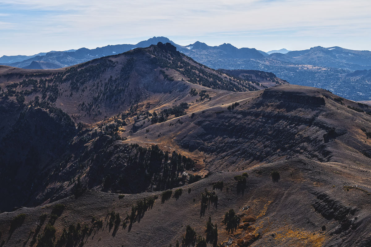
Red Lake Peak stacked in front of Round Top as viewed from Stevens Peak on October 26, 2018. © Jared Manninen
I understand that traveling off-trail seems more dangerous, but from my experience I’ve found that most people who do explore the backcountry in this fashion have a much clearer sense of their own mortality. They understand that they’re heading off the grid and, therefore, can only rely upon themselves, the company they’re with, and the gear they’re carrying. So, they make decisions based on this understanding and act accordingly.
Sorry to disappoint if you were hoping for a blow-by-blow account of the two adventures I had last month. I instead wanted to reflect upon the two approaches to exploring the backcountry because this was the biggest takeaway from those trips. I’ve realized that neither method of exploration is right or wrong or better or worse. They’re simply different frameworks that yield different experiences and results. But if there was a lesson to learn in all of this it’s that no matter how you choose to go on an adventure (or live your life), you need to disable your auto-pilot system and be as present in the moment as possible to have the richest and most fulfilling experience.
And, always remember that there’s more than one way in which to reach the top of the mountain.
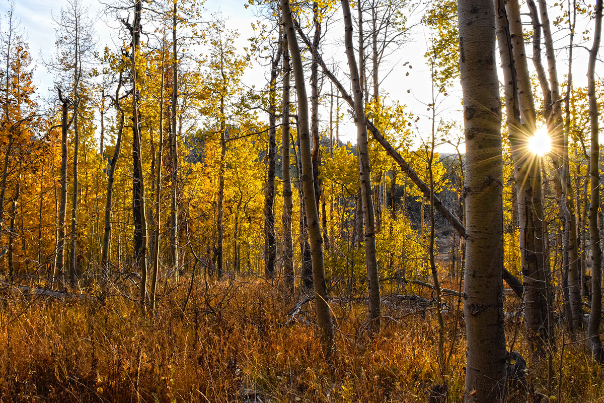
Aspen trees brightly lit at the close of business on October 26, 2018. © Jared Manninen
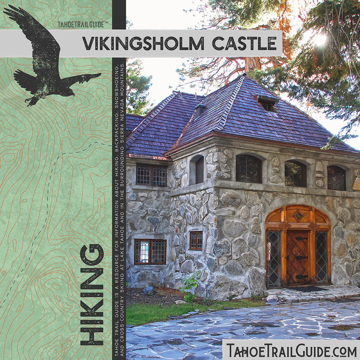
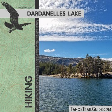
Three other trails I hiked since last I wrote. I’ll post the Stevens Peak loop article next month since I haven’t yet written about it. The article posted here about the Vikingsholm Castle is for finding parking and the trailhead, as well as some considerations for hiking to the castle. Last month’s article was a brief history lesson about the place.
Click an image to read its article.
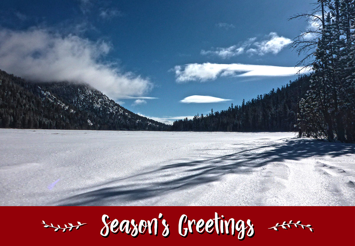
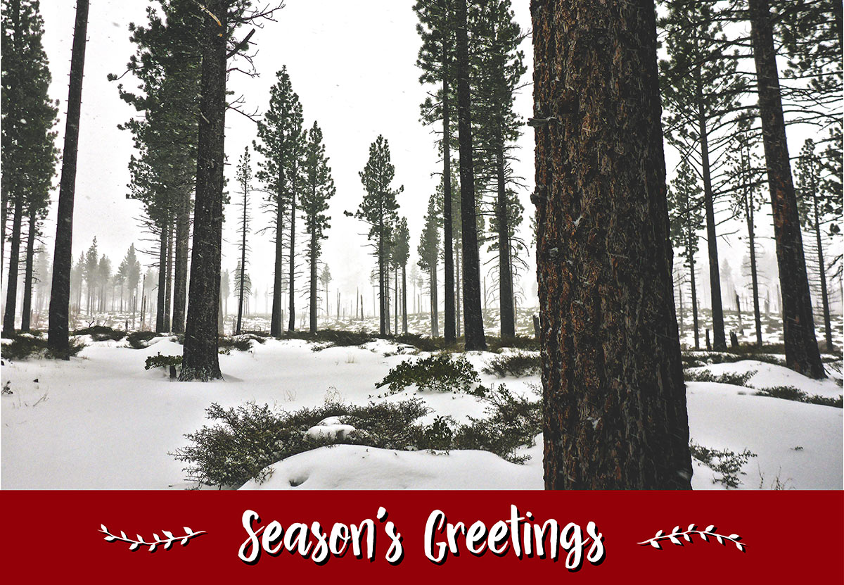
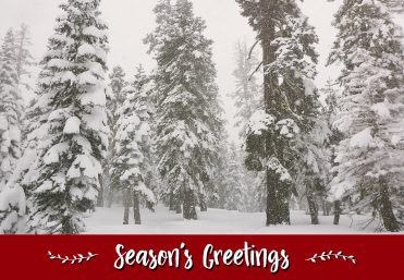
I recently designed a few simple greeting cards for the upcoming holidays. I’ve uploaded them to my RedBubble account, so they’re available for purchase along with a bunch of my other artwork and designs.
Click an image to view it on RedBubble.
Below are a few pages I recently colored (with colored pencils) of my coloring book, Color the Tahoe Rim Trail. I admit that colored pencils are not in my wheelhouse, but I’m trying! If you’re looking for a fun gift for the holidays, I have copies for sale or you can purchase directly from Amazon.
Click an image to view a larger version of it.
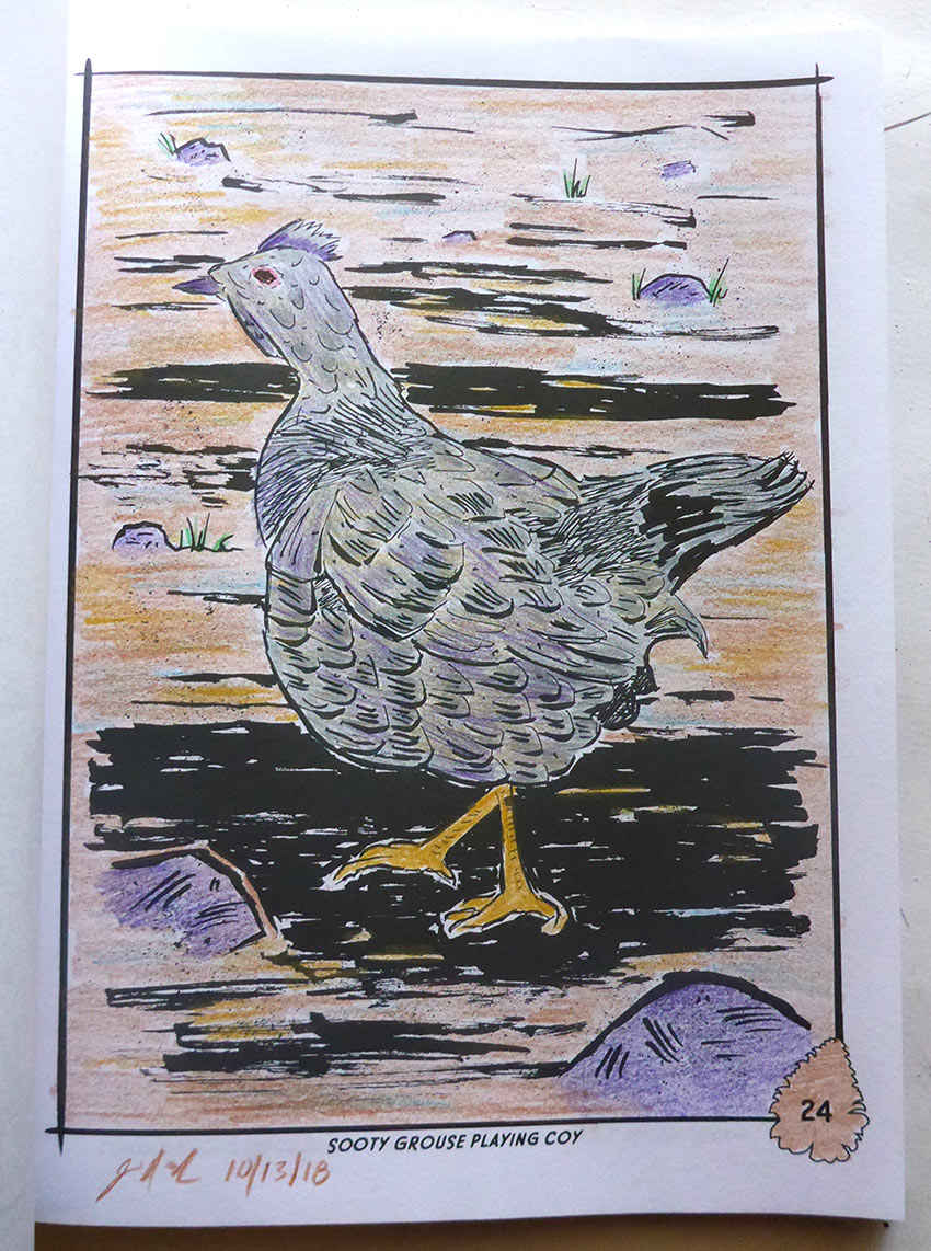
Page 24: Sooty Grouse Playing Coy
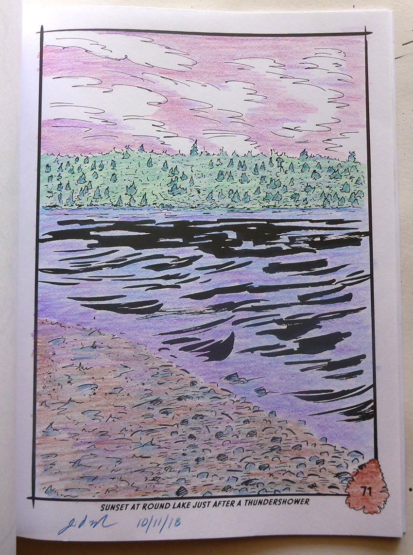
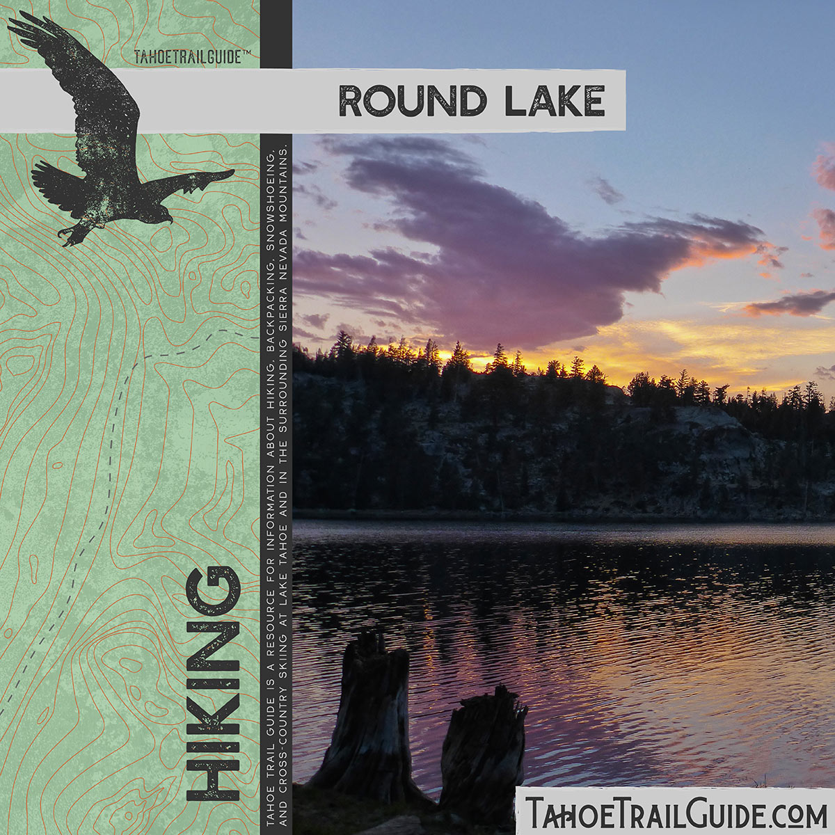
Page 71: Sunset at Round Lake

Page 73: Rock Walkway Over a Stream
Thanks for being a part of my life. Until next time…
-Jared Manninen
Tahoe Trail Guide is an online magazine for sharing my knowledge about hiking, backpacking, cross-country skiing, and snowshoeing, as well as information about traveling to (and through) the Lake Tahoe region. I refine that information for a younger audience and produce it in a printed format under the title Wilderness Activity Books. Lastly, Tahoe Swag is a collection of art and design products I create based on my love of the outdoors and appreciation for Lake Tahoe.
Comments (2)
Great new feature included in this newsletter! Hearing the voice of the author read the text while following along definitely brought me closer to being on the trail with him. I hope to see more of these posts done in a similar fashion! Thanks Jared!
Thanks, Joan! I’m still working out the kinks of uploading audio, but I think I’m on the right track.